 The Borough of Woodland Park is situated on approximately 3 square miles in the northeastern section of New Jersey, about 20 miles west of New York City. It is a suburban town of mountain and river edge neighborhoods with a population of 11,819 as of the 2010 Census.
Highway access is provided by Interstate 80 in the northern edge of town and U.S. 46 along the southern border. Natural features form the Borough’s other two borders: Garret Mountain on the east and the Passaic River on the west.
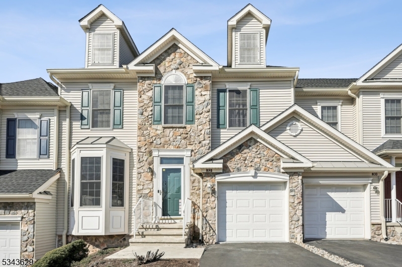
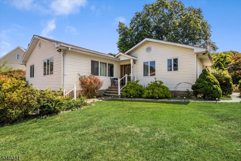
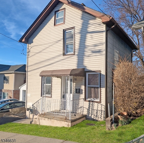
The Borough has approximately 4,800 housing units, with an average home value of $344,741.
Though Woodland Park is a highly developed municipality, with a mixture of residential, retail, office, and industrial properties, a significant portion of the Borough, approximately 632 acres, or 34%, remains open space including two County parks, and two reservoirs.
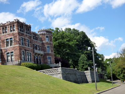
Garret Mountain Reservation is a 568-acre park and one of several National Natural Landmarks in New Jersey. The reservation covers the northernmost part of the First Watchung Mountain and offers views of the New York City skyline, as it rises 500 feet above sea level.
Rifle Camp Park is a county park covering 225 acres located mostly within Woodland Park. The park includes hiking trails, an observatory, nature center, fitness trail, amphitheater, a bird watching blind, and an overnight camping facility for local scout organizations.
Students in public school for kindergarten through eighth grade attend the Woodland Park School District. Schools in the district are Charles Olbon School (grades K-2), Beatrice Gilmore School (grades 3-4) and Memorial Middle School (grades 5-8). For ninth through twelfth grades, public school students attend Passaic Valley Regional High School in Little Falls Township, which also serves students from Little Falls and Totowa.
Photo: Garret Mountain Reservation Paterson Castle by Jared Kofsky [CC BY-SA 3.0 (https://creativecommons.org/licenses/by-sa/3.0)]


